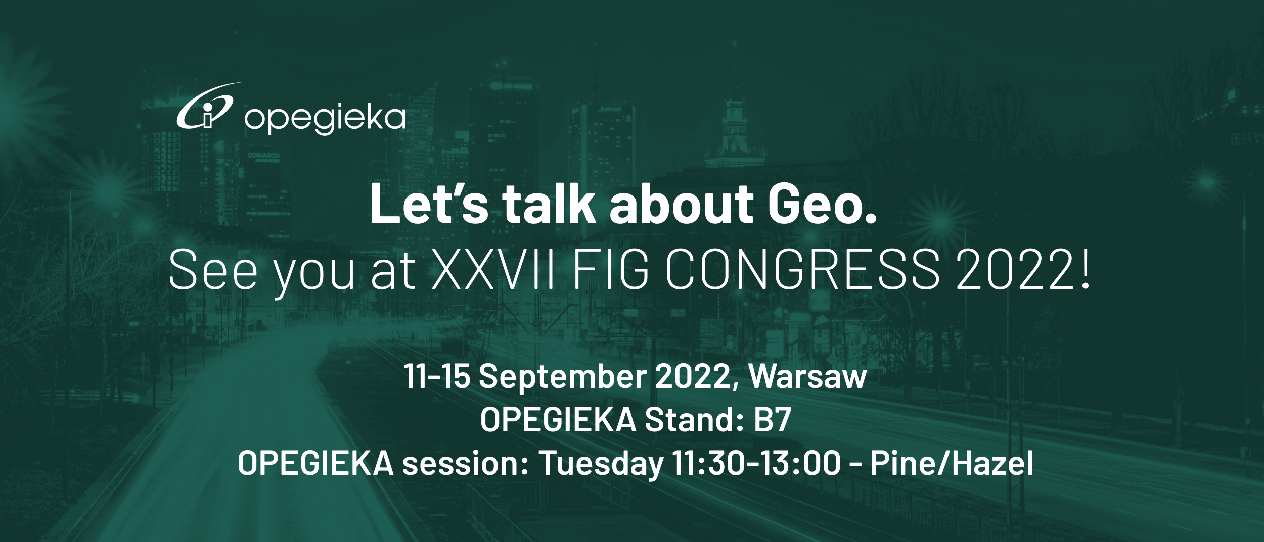
From 11 to 15 September 2022, we are honoured to participate in the 27th Congress of the International Federation of Surveyors (FIG – fr. Fédération Internationale des Géomètres), which is held periodically every 4 years. This year, this prestigious event will be held for the first time ever in Poland in Warsaw.
Our participation in FIG 2022 is of a dual nature.
Firstly - we would like to invite you to a series of our presentations on Tuesday 13 September 2022 from 11:30:13:00 in a session entitled: “Accurate, reliable and digital geospatial data understandable by humans and machines as a basis of decision-making processes automation”
The schedule of our speeches is as follows:
1. OPEGIEKA – inspiration to use the potential of spatial information in science and business. - Adam Augustynowicz
Exploring the company in the context of exerting a real impact on the directions of development in the geospatial intelligence industry and using state-of-the-art technologies in order to create innovative geoinformatics solutions based on spatial information responding to the needs of business, administration and society.
2. Aerial data and its potential use in remote sensing analyses - Jakub Krawczyk
Presentation of equipment, technical requirements and matching parameters to create quality aerial products. Presentation of an example of remote sensing analyses based on aerial data to reliably assist in daily work.
3. Data integration as key to further development (SimplyGeo and Perspective 360) - Karolina Wawrzusiszyn
Demonstrate the ability to acquire data and integrate it to get a complete vision on the city through analysis from all perspectives, both aerial and mobile. Pointing out that in today's world, it is a strength to intervene with a lot of data in one place to use its potential more effectively.
4. Development based on qualitative data and data verification (CertiflAI) - Jakub Krawczyk
The quality of the data and the speed and accuracy of its verification is currently an important challenge for suppliers, but especially for procurers. Using advanced neural networks, the CertiflAI application was developed for the automatic detection of defects in images.
5. Summary - the importance of data in today's world and the potential for continuous development - Adam Augustynowicz
The capacity of the data, its quality or correct understanding by humans but also by machines is the key to success. We emphasise the importance of spatial/digital data in today's world and the potential for continuous development through its good analysis.
6. EASSI activities – Marcos Martinez
Introducing EAASI (European Association of Aerial Surveying Industries) and Aerial Survey Market. Introducing the role of the association and its objectives.
7. Q&A
Secondly - we will be present throughout the event between 11-15 September at our exhibition stand B7, where we will be at your disposal.
We would like to invite you to our stand every day to learn about our services, products and activities in the field of geostatial intelligence. OPEGIEKA offers full technology chain from consultation to implementation. The company focuses on R&D, photogrammetry and remote sensing, geoIT and surveying. At the stand, we will be talking more extensively about our activities related to the acquisition of aerial data from multiple altitudes and angles, final products and their use as well as their presentation in the dedicated SimplyGeo viewer. As a company, our focus is on data quality and, to this end, we have also developed an CertiflAI application designed to automatically check defects on aerial images.


 European Union
